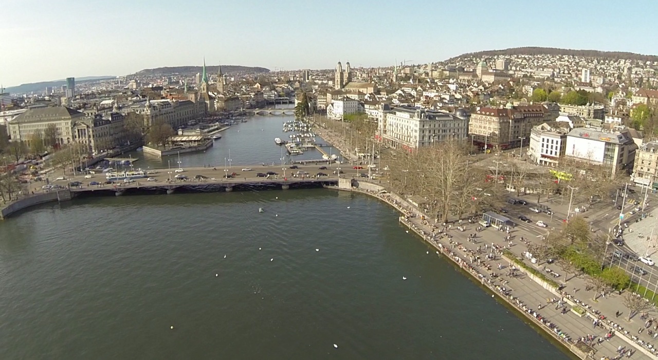
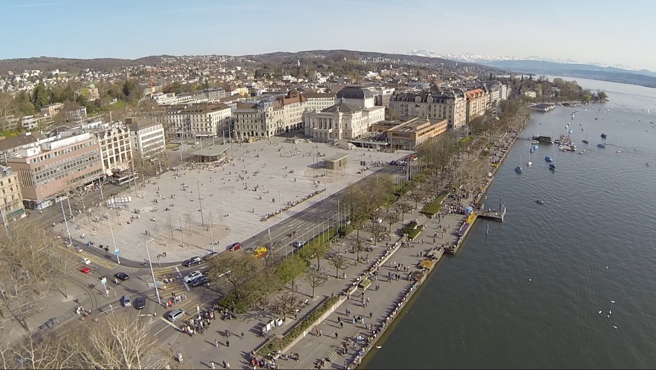
Today was a beautiful warm spring day and I decided to do what all the people from Zurich are doing, going down to the lake. While the promenade was severely crowded, I had the sky all for myself 😉


[twoclick_buttons]
Today was a beautiful warm spring day and I decided to do what all the people from Zurich are doing, going down to the lake. While the promenade was severely crowded, I had the sky all for myself 😉


[twoclick_buttons]
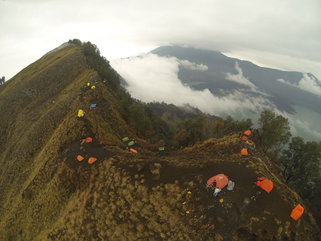
Trekking on Mount Rinjani is a very popular activity on Lombok. With 3726 m (12’224 ft) above sea level, Rinjani is the second highest peak in Indonesia. The most popular access is from either Senaru or Sembalun. Trekking times vary depending on the route and destination. Wikitravel has a good article about it. I’ve chosen the 3 day / 2 night trip witch takes you to two locations on the crater rim, to the hot springs at the crater lake as well as to the summit. It is the most popular option, however there are also shorter tours which only take you to the crater rim.
We were especially unlucky with the weather. It was raining almost every day, which is very uncommon for the dry season. However, the wet season was just around the corner, starting in December, when trekking is not feasible anymore. With ponchos and backpack rain covers we tried to keep everything dry along the route.

The route is not technically difficult but it requires endurance. 8h+ of hiking every day and the total altitude difference of almost 3000m is not easy. I enjoyed the little challenge. With a normal level of fitness and a bit of preparation, everybody can do it. Most difficult was the final accent to the summit. The volcanic gravel stones make you slip backwards on every step and the thin air slows you down on top of it. But I made it and luckily there was even a bit of sunshine on the top. This was very rewarding after all the cold and wet hours to get there. But watch the video yourself I recorded with the Phantom on top of the Rinjani. I guess this is a world premiere. 😀

[twoclick_buttons]
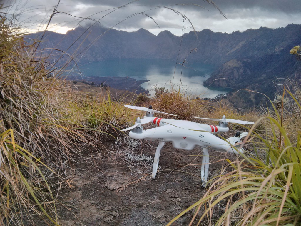
I’m just back from my trip to Indonesia, a beautiful country with big contrasts, lovely people and impressive volcanoes. On my journey in November 2013 I visited two islands, first Java and then Lombok. In my backpack I am not only carrying a GoPro but also the Phantom quadcopter 🙂 I thought it would be the perfect opportunity to take some great shots and videos at very unique locations. But please see yourself.

In the following days I would like to share with some of the nice spots I was visiting with the copter:
I am still sorting through the Gigabites of photos and videos. Please be patient for the final videos to be edited and uploaded. But they are coming!


I had no problems at all at the airports in Indonesia. I guess they don’t really know what it is, but I also never had to open the bag for special inspection. I just followed the general ‘air travel’ regulations, which request, that you put the batteries into the carry-on (FAA rules). There are no regulations regarding the drone (electronics) itself. The airports in Europe and the bigger hubs in asia (e.g. Singapore) usually know the rules for batteries very well. The www.fpvlab.com forums are a great resource for travel reports, especially flying through exotic airports.
I’ve put the phantom, remote and charger into the check-in bag. I removed the landing gear and propellors to fit it into a large backpack. The batteries and the GoPro went into the cary-on. I had no space for the Phantom there, but that should work too. In case they want to open your bag at security, always tell them first, that you have batteries inside. Sometimes, security personnel gets scared by the look of batteries.
In Indonesia itself, people have rarely seen a drone. Therefore, they are mostly curious and a bit anxious at the same time. People ususally just watch from a distance, sometimes people start talking with each other. Sometimes they approach you. They are always friendly and just want to talk and find out what the white thing is that you bring and fly. When asked for the price of your toy, you might not want to give exact numbers to any stranger. Given the average daly income of $5 in Indonesia, your toy might look absurdly expensive.
When walking around / hiking, I had the phantom hanging off the backpack. In order to attract less people I usually put a rain-cover over the phantom, so people can’t see the drone. This makes it easier for you to get around without explaining to everyone what that white thing is you are carrying….
[twoclick_buttons]
Hiking in Switzerland is great, but it’s even more fun if you bring you quadcopter! Enjoy this great video that I recorded along the hike from Arvenbühl up to the Leistkamm. Music Credits: Phase IV (lo-fi is sci-fi) / CC BY 3.0